Geomatics (GM)
Email: alejandro.flores@cttc.catPhone: +34 93 645 29 00
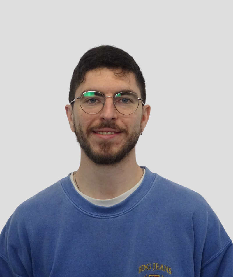
Alejandro Flores García earned a Bachelor’s degree in Geoinformation and Geomatics Engineering from Universitat Politècnica de Catalunya (UPC). Currently supporting the Geomatics unit at CTTC, he focuses on developing software solutions to streamline research workflows.
During his studies, Alejandro worked in different public places. First of all, at the Institut Municipal d’Informàtica (IMI) of Barcelona, where he gained experience as a cartographer and software developer updating the city map. On the other hand, he worked at the Àrea Metropolitana de Barcelona (AMB), where he acquired competencies manipulating different workflows to automate heavy data processes.
To finish his studies, he dedicated his final project to detecting vessels by merging Sentinel-1 satellite radar images with ship data (AIS data). He developed his own software to apply algorithms for image segmentation and object detection in the processed images.
After completing his studies, he worked for a year as a Software developer at Infraplan, honing his skills in creating task automation tools, data analysis software, as well as designing database structures for various cartographic and geomatic web viewers.
There are no related projects.
