Indoor-Outdoor Positioning for Emergency Staff
IOPES is a two-year project co-funded by the European Commission, Directorate-General Humanitarian Aid and Civil Protection (ECHO), under the call UCPM-2019-PP-AG that aims at strengthening the preparedness of civil protection and emergency teams involved in disaster-related operations by providing latest positioning and mapping technologies to the teams.
The project has been carried out with a consortium that includes a research centre, CTTC (ES), 4 SMEs, ATHONET (IT), SAReye (IS), SCARABOT (DE), CATUAV (ES), a Civil Protection entity, the FBBR (DK), and a related organization, PCF (ES, fire ecology & management); this last partner provides its knowledge of high-risk areas, and examples of disasters of natural hazards. The final beneficiaries are the civil protection agencies and emergency teams.
Project targets has been
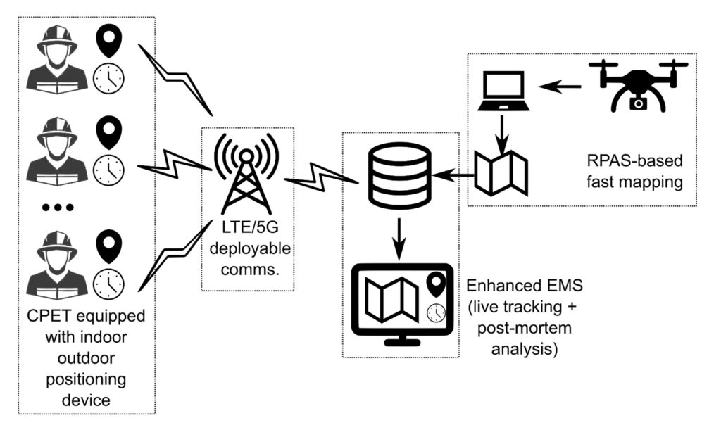
(1) to provide continuous, time-tagged information about the location of CPETs, either indoors or outdoors
(2) as a new feature of an already operational emergency management system (EMS),
(3) relying in existing cartography, or new maps (fast mapping + Remotely Piloted Aircraft Systems (RPAS))
(4) using its own communication system to avoid the need of existing (possibly damaged/inoperative) infrastructures
(5) to better the decision-making process.
The project tasks include the assessment of user needs through interaction with end-users and stakeholders and the definition of the scenarios used to test the IOPES system.
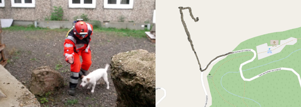
The project outreach, we seek to make the outcomes of the project known by other civil protection and emergency collectives, by presenting it in scientific and specialized forums, webinars, and a final conference. Technical integrations required to deliver an operational IT-based solution meeting the specifications collected from end-users. Field testing, two functional exercises has been carried out in Spain and Germany, where the IOPES system has been put to the test in different environmental and emergency conditions. And last, but not least a long-term sustainability study.
The IOPES final technologies integrates wearable positioning technologies, LTE/5G portable and easily deployable communications, a seasoned IT-based emergency management system as well as fast mapping products to track the positions of the members of emergency teams, no matter whether they are indoors or outdoors. IOPES technologies will strengthen the preparedness of civil protection and emergency teams involved in several kind of disaster-related operations.