Local deformation mesurements in the metropolitan area of Barcelona
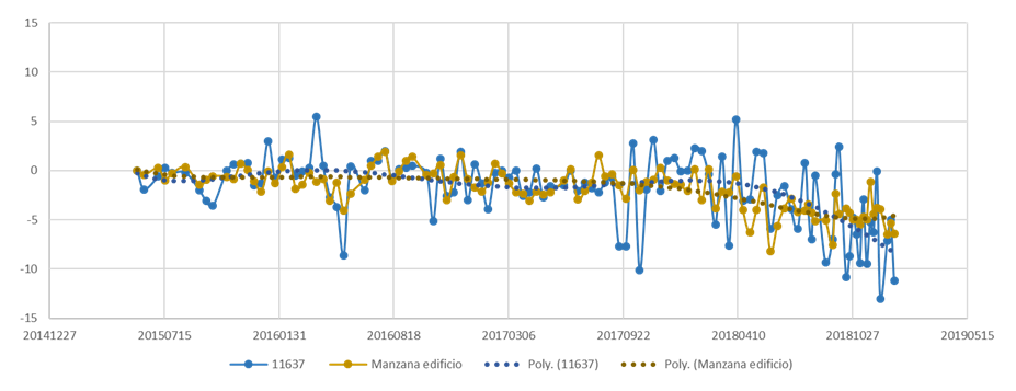
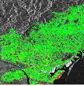
Satellite-based interferometry has the capability to measure wide areas. At the same time, it can be used to monitor local … Read More
Deformation measurements based on a terrestrial interferometric SAR-
Discontinuous Ground Based SAR deformation monitoring of an urban landslide located in Catalonia. The monitoring was realized by observing the … Read More
Sentinel for geohazard regional monitoring and forecasting
The project Safety aims to provide the Civil Protection Authorities (CPA) with the capability of periodically monitor and assess the … Read More
Deformation measurements based on a terrestrial interferometric SAR
Discontinuous Ground Based SAR deformation monitoring of an urban landslide located in Catalonia. The monitoring was realized by observing the … Read More
Systematic monitoring and analysis of deformations of terrain, structures and infrastructures over very wide areas
The MIDES project is based on DInSAR (Differential Interferometric Synthetic Aperture Radar, DInSAR), a satellite based remote sensing technique to … Read More
Deformation monitoring during the period of CO2 injection by means of SAR techniques
CIUDEN is a research project led by the former Institute of Geomatics (IG) and funded by the Programme of Geological … Read More


