End: 31/01/2027
Funding: European, Industrial
Status: On going
Geomatics (GM)
Acronym: WAVESS
Code: PHIL-SPC-CONT-000057
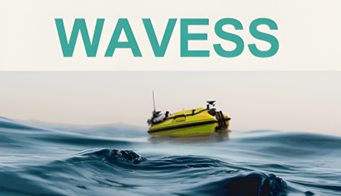
The WAVESS (Waterbody Assessment and Verification fusing Earth observation and Seabot Surveying project) project focuses on improving the way we map and monitor Mediterranean shores and other water bodies. By combining Earth Observation data with real-time measurements collected by Unmanned Surface Vehicles (USVs), WAVESS offers a scalable and cost-efficient solution for generating bathymetric and environmental maps with high accuracy. This fusion approach addresses the limitations of satellite-only monitoring and the high cost of traditional field surveys, supporting better management of challenges such as sediment concentration, cost-effectively and at scale.
The project is led by Spascat, a company specialised in EO-based solutions, in partnership with GPA Seabots, experts in on-field waterbody surveying, and CTTC, a leading research centre in telecommunications, geomatics and algorithm development.